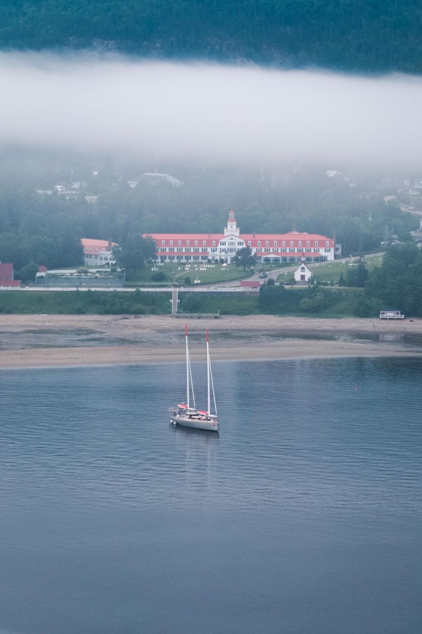


“Arriving at the anchorage off Tadoussac on June 14, we began a week of vertical mapping of underwater cliffs — a first in this fjord!
Vincent Lecours and Elsa Vigneault, researchers from UQAC, supervised the deployment of the multibeam echosounder and GPS antennas, installed with the crew’s help to precisely map the submerged walls of the fjord.
Meanwhile, over 60 CTD casts were made throughout the fjord for Philippe Archambault’s project, and surface water samples were collected for analyses by Caroline Guilmette and Anne-Sophie Cloutier (Takuvik).
A stop at La Baie allowed us to introduce the vessel to professors and students from UQAC, teams from the Saguenay–St. Lawrence Marine Park, the Fjord Museum, as well as for a wonderful report.
Thanks to favorable weather and smooth coordination, 100% of our objectives were achieved.
Our only regret: little visible marine wildlife, despite a few seals sunbathing...
Next stop: Blanc-Sablon, before heading northwest toward Greenland.
Goodbye Tadoussac!”
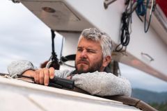
— Baptiste Régnier, Captain of FOREL