


Invisible and silent, it goes about its work — yet every bit of data it collects helps unveil the hidden story of the Saguenay.
It continuously maps the fjord’s lateral slopes — a patient, almost imperceptible task, but one that’s vital to the mission.
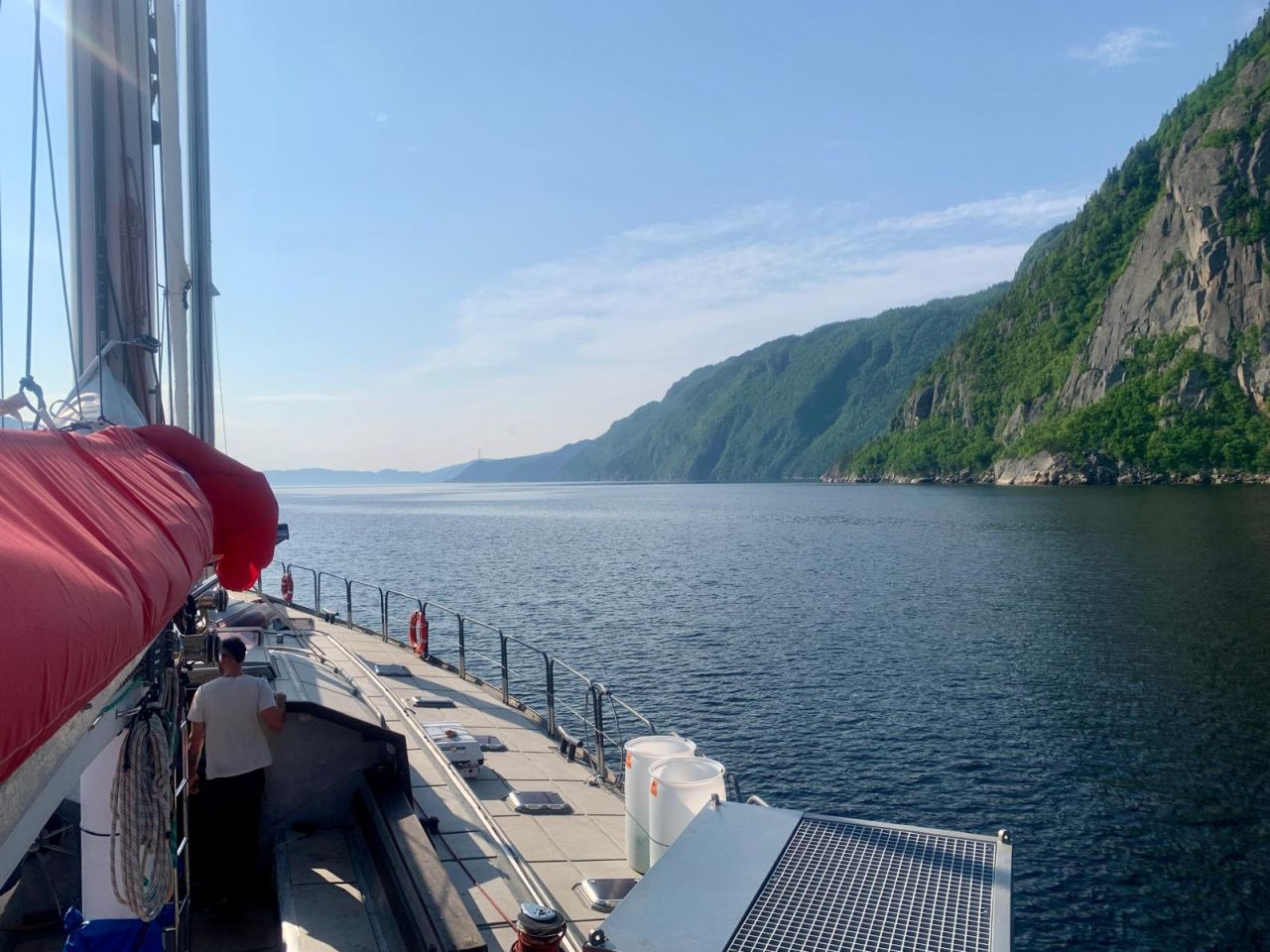
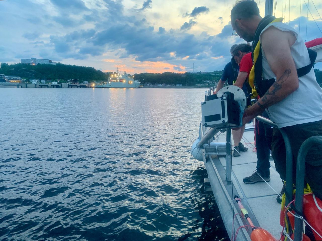
Along the way, we stop for CTD casts, acoustic surveys, and nanoplancton sampling. Today, we passed the two-thirds mark of the southern shoreline. Bit by bit, the underwater geography of the Saguenay is coming into view.